Words and photography by Michael Spaziani
 I have often, in half-jest, quipped about the implication of the miss in Mississauga—that is, another missed opportunity, not another young lady.
The most obvious misses have to do with potential linkages that could have been made but were lost in the process. Many of these have to do with pedestrian connections but also include car, bicycle, watercourse, green space and other connections that could have or should have been.
Sometimes we lose connections with history, as was almost the case when our former representatives on the Toronto Regional Conservation Authority voted to demolish the Small Arms Inspection building, the last standing memory of our role in the Second World War.
The sadness about missing links has to do with an urban ideal that suggests interconnectedness is good planning. The ability to use different or optional paths to get to your destination is generally considered better, smarter planning in our cities. Consider this recent exchange regarding the proposed closing of Roehampton Avenue to through traffic in downtown Toronto. George Dark of Urban Strategies Inc., the firm designing our Lakeview waterfront, offered his view on this proposed closing.
“Cutting off access to traffic only pushes the problem somewhere else, until finally the only fully accessible streets are the main arterial roads—that’s the suburbs,” he said. The suburbs, no less! The ultimate insult to a proudly urban Torontonian, to be characterized as a suburb! Have we faced similar issues in Mississauga? Oh yes. Here is my top-10 list of missed opportunities in our city.
Have we faced similar issues in Mississauga? Oh yes. Here is my top-10 list of missed opportunities in our city.
1. The GO Rail Bridge Expansion over the Credit River in Port Credit
A third rail was added to the GO line over the Credit River a few years ago. Imagine what the simple addition of a pedestrian cycle bridge would have achieved if combined with this major infrastructure project. The entire west side of the Credit could have direct access to the GO station and the village centre within a five-minute walk. It would have changed our way of understanding and using the village. East meets west.
2. The Two-Golf-Course Embolism in the Credit Valley
I’m not sure who the marketing genius was who figured that privatizing the entire river valley from the QEW to Dundas Street was good regional planning, but the elite 1 percent sure enjoy it. If you have a canoe you can still interlope among the whizzing golf balls. Wouldn’t a continuous valley trail and bike path be a novel idea through here? There is another blockage here too. Imagine the Queensway extending through these golf courses to make a dearly needed east/west connection across the river valley. The Blythe Road folks would go ballistic. I would love to see the public meetings.
3. The QEW Bridge Expansion over the Credit River
Another major infrastructure project that could have introduced a pedestrian/cycle bridge appendage connecting east and west Mississauga fails to materialize. Clearly, we need to move cars, not people, as a priority.nning. The ability to use different or optional paths to get to your destination is generally considered better, smarter planning in our cities. Consider this recent exchange regarding the proposed closing of Roehampton Avenue to through traffic in downtown Toronto. George Dark of Urban Strategies Inc., the firm designing our Lakeview waterfront, offered his view on this proposed closing.
4. The Stavebank Road Extension
Concurrent with the QEW bridge expansion, a second missed link was the potential connection of Stavebank Road from south of the QEW to the north. This could have been an easy add-on to the major bridge expansion work.
5. The High Street West Blockade
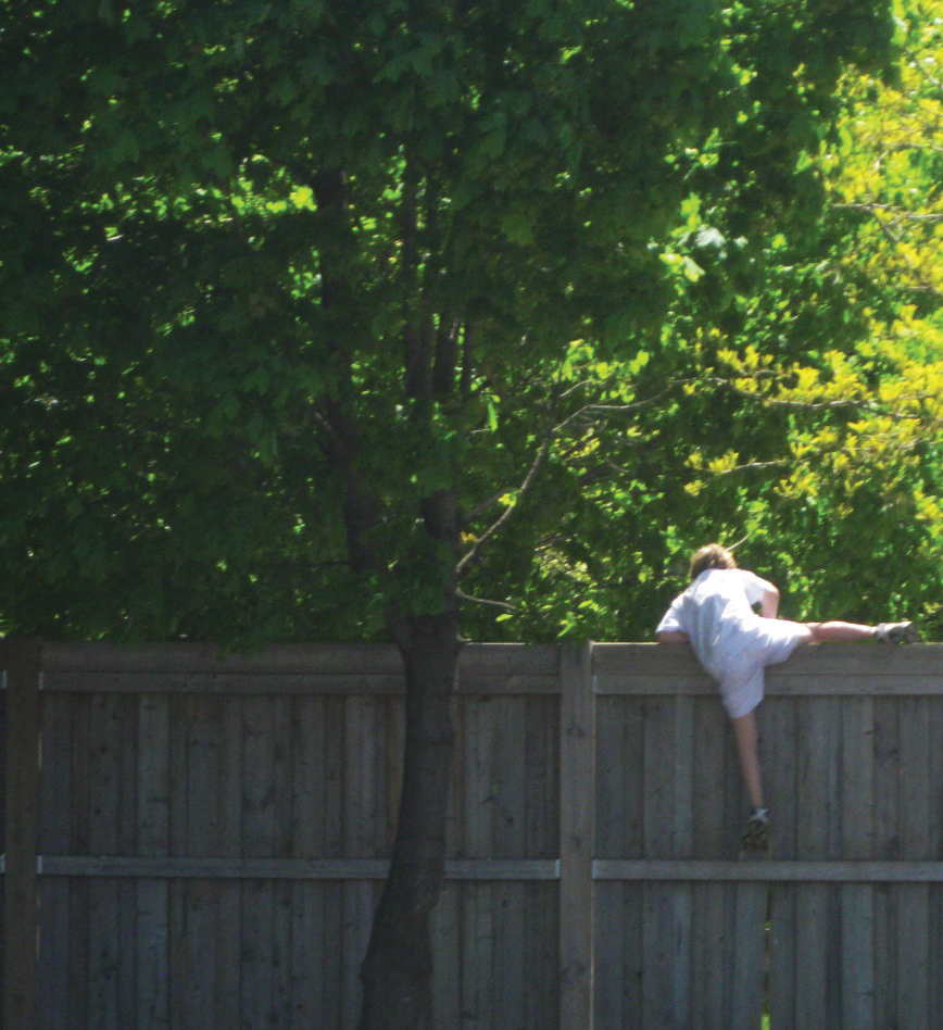
The good people who live on High Street could not imagine opening up their street to the Credit Landing Shopping Centre. As a result there is an abrupt termination of this passage as a condition of allowing this development. The kids ignore the barrier. Good on them!
6. The Revus Avenue Bung-Up
When the industrial lands at Revus Avenue south of the GO Rail line were developed about 20 years ago, one could have imagined a convenient connection from Revus through to Iroquois Street. One could also see a connection from Roosevelt Road through to Revus and Shaw Drive, interconnecting north, east and west in one simple development connection. Instead, you can only walk through the development by way of broken boards cut through the end of the Iroquois Road boundary fence.
7. The Cooksville GO Station/T.L. Kennedy Sclerosis
Again, you may think that we would do all we can to enhance access and connection to a GO station, but when T.L. Kennedy Secondary School went in, the opportunity for a north/south connection from Cook Street in the heart of Cooksville was lost. Instead, you can wind your way through a school parking lot.
8. The Kariya Drive Termination
When you consider access to the Cooksville GO station from the north, you encounter the sad termination of Kariya Drive and the subsequent dead worms and cul-de-sacs that confuse and ultimately block any connection to that GO station. Kariya may eventually hit Central Parkway West, but any further southward connection is forever lost unless some Papal expropriation is demanded.
9. Waterfront Interruptus
If you have ever tried to follow the Waterfront Trail, you know that there are several breaks in this important link. Petro-Canada, Rattray Marsh Estates and Lorne Park Estates are just a few impenetrable barriers that are not likely to change. At least the Imperial Oil lands have a bright future for improved connection.
10. Cawthra/Claredale Stoppage
Another recent development, and another stopped-up connection. The townhouse project at Cawthra Road north of the GO line was specifically designed to not connect with the good people on Claredale Road. Clearly townhouse people should not mix with single-house people—just imagine the trouble that might result! So if you live on Claredale Road and want to walk to Lakeshore, you have to travel north to Atwater then east or west to get to a southward-heading sidewalk. NIMBYism at its ugliest.
So it goes. These are just my 10 most obvious blockages based on my attempt to walk this city; there are many more. Interconnecting communities, enhancing walking convenience and continuing natural valleylands and watercourses should become a planning priority. We can’t get bogged down by narrow neighbourhood options; we have to do what is best for the livability of the whole city. We need to create more connections, more linkages, more walkability—we need toovercome the suburban dilemma of being a city of just main arterial roads.
Michael Spaziani operates MSAi, a Mississauga-based commercial architecture and urban design consulting company. He also serves as an expert witness at the OMB.